What are airborne spectral data?
An airborne spectral sensor is a passive system that records the reflectance of the sun’s energy at different wavelengths from an object. Human eyes can only view a small range of wavelengths in the visible regions of red green and blue, but information from other wavelengths has been shown to provide useful indicators when looking at landscape data.
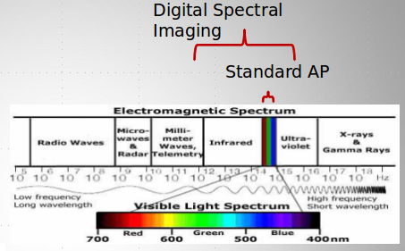
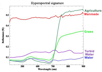
Of particular use for archaeological surveyare the near-infra red (NIR) wavelengths, especially the region known as the red edge, which studies in plant biology have shown to be particularly sensitive to vegetation stress. It has been observed that archaeological features can be imaged better in the NIR wavelengths in certain circumstances, though much of the biological, physical and chemical properties that cause this increase in detectability are yet to be understood.
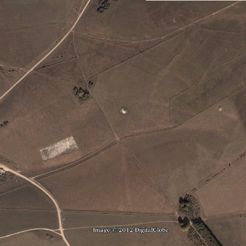
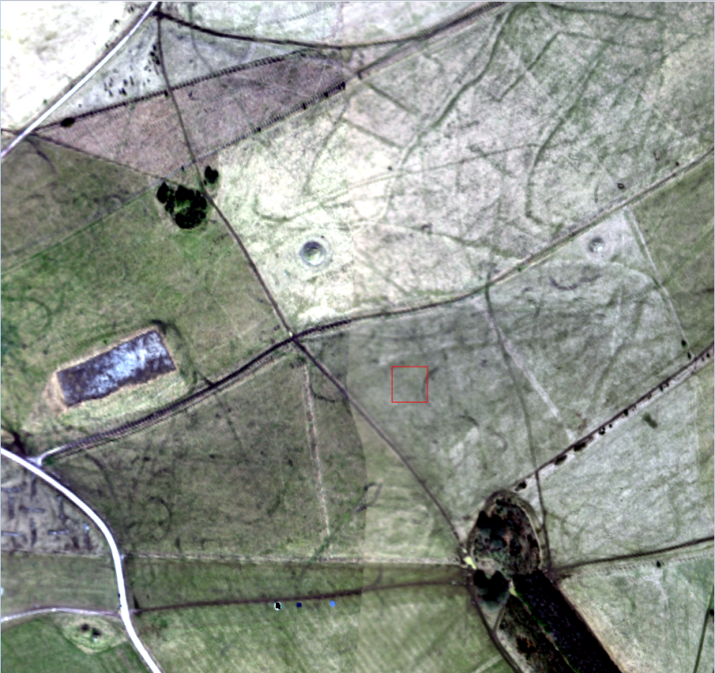
Below is a comparative image of google earth imagery and hyperspectral imagery for the same area.